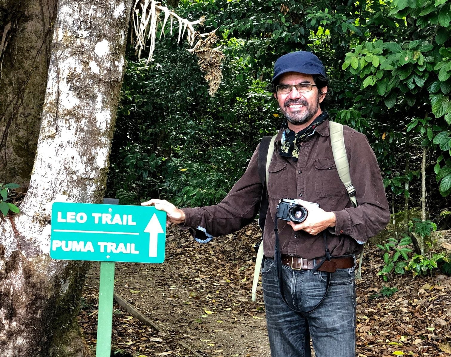
We recently updated you on an exciting new coast to coast itinerary created by Costa Rica Sun Tours in Costa Rica – El Camino de Costa Rica (read the overview here). Last week we chatted with Leo Chaves of Costa Rica Sun Tours about his recent exploration of the route and he had lots to share – especially since it was his first time seeing some more remote parts of the country – it was evident he was in awe! Following is a short Q&A sharing some of the highlights in he experienced:
Kusini: Lots of visitors include Tortuguero region in their Costa Rica itineraries and El Camino does include a canal tour in the National Park as part of the itinerary before continuing to Reserva Pacuare. What was it about your visit this time that took you by surprise?
Leo: We actually spent the day in the Reserva Pacuare. Here you’ll find a rustic lodge built for biologists with a unique Caribbean charm. The food and rooms are nice, clean and simple. The ‘wow factor’ is that the buildings are located right in front of the sea – where sea turtles can be seen (with luck) from March to September! The reserve specializes in sea turtle research programs that guests can be part of. For me, it’s a great way to begin El Camino…. waking up early listening to the howler monkeys in the canopy and the waves crashing in front of your room!
Kusini: You have described day three of the itinerary from Barbilla National Park to the Cabecar Indian Reservation as the most difficult hiking day of the entire route, yet it also seems to be the day that amazed you the most – which says a lot given the depth of your travel experiences! Can you share a little description?
Leo: It really is the most difficult day of the entire route – crossing through rivers and all kinds of substrates in the rainforest (large and small loose rocks, mud, roots, branches, fallen logs, more mud!). But, we saw native people in their traditional huts, we saw magnificent ancient rainforest trees – probably older than 1,000 years! We saw rivers so clean you could almost drink the water, large morpho butterflies and even a raptor migration. Toward the end of the hike in more open areas we saw typical farming practices from locals on this side of the country: bananas, guineos, cassava, corn, pigs and chickens. Finally, to see the mighty Pacuare River was another impressive highlight, such a remote river with so much water and power….no words to describe it…
Kusini: The next few days are spent rafting on the class III-IV river, hiking into and out of the verdant town of Turrialba, through ranch lands, and on to Tapanti National Park with views to the beautiful Orosi Valley. Ultimately, on day six you find yourself hiking from Muñeco Valley to Palo Verde del Guarco. Though you’ve had a few ‘easier’ days in between, you describe this day as the second most challenging but again, the mud and 14km trail is nothing to fret about when you take in your surroundings. Can you tell us more?
Leo: It’s true, but, because the scenery is so beautiful you forget about the mud and just want to keep going. You start your day around 5,000 ft (ending at about 6,500 ft) and you see plant indicators of cooler weather compared to the lowlands of the Cabecar Indian Reservation. For example, you’ll find crops like coffee, large epiphytes such as “Barba de Viejo” covering the canopy tree branches, orchids, and many mountain views – breath-taking. Birds of the cloudforest are heard all around you, and with some luck, you will find them – we saw 4 bellbirds, and heard some quetzals in the distance. We also heard howler monkeys and the ornate hawk eagle. A real highlight was the best lunch you could have served by our local guide, Jose, in a small hut with great views of the surrounding high mountains. We enjoyed fresh vegetables, cassava, chayote, corn, camote, chicken, rice, beans, and for me “el vegetariano” he even cooked a “torta de lentejas” plus fresh limonada and hot coffee – a perfect end to the hike!
Kusini: Wow! I love the way you’re describing this! Let’s fast forward to hear what you have to say about the last section of the hike leading from Napoles to Esuipulas then down to Manuel Antonio Beach. At this point, you’ve covered so much ground and crossed the continental divide into the warmer weather off the Pacific Ocean and the lowlands of Quepos. What can you share about this last full day on the trail?
Leo: A highlight of this day was meeting Don Lilo and his wife Maria in Napoles over a treat of tortillas with sour cream, fresh cheese, and hot coffee – the best beginning of the final hike! Don Lilo shared with us information about is coffee farm, his “trapiche” an old-school sugar cane mill, and he explained all the distances and routes possible from his native town of Napoles. As we descended down the trail, and after several stops at different lookouts with views to the Pacific, we realized how small and narrow Costa Rica is from coast to coast. We agreed that “El Camino” is a must for hikers who want to experience not just diverse landscapes in different altitudinal belts with a wide variety of animals, plants and trees, but, it is also the chance to meet local Costa Ricans and share cultural experiences from different regions and climates!
Kusini: Thank you so much for painting such an intriguing picture, Leo – I am packing my bags! If you could add one more thing, one last take-away from the experience, what would it be?
Leo: If you can’t do it all (it is designed as a 10-day route) then let’s just take parts of El Camino and add them to a custom itinerary. That will benefit the local people around this unique route and little by little will introduce this idea of connecting our guests along this unique transect of nature and culture from coast to coast!
If you’d like to learn more about El Camino or portions of the trail to include in your custom itineraries, please reach out!


Leave A Comment
You must be logged in to post a comment.